
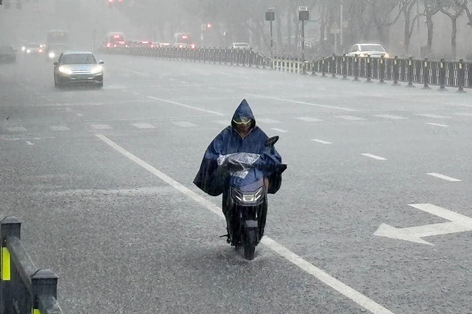
Typhoon Noul, the 12th typhoon of the year, weakened into a tropical depression on Sunday night and moved into Hunan province early Monday, but its residual circulation still brought torrential rain. Several areas kept emergency responses in place as rescue work and transport recovery went on at the same time.
Residual circulation brings heavy rain
From 7 am Sunday to 7 am Monday, significant rain fell across 19 townships in 10 county-level areas of Chenzhou, Changde and Shaoyang in Hunan. One township in Chenzhou recorded 223.1 millimeters of cumulative rainfall, while the strongest hourly rainfall, 57.4 millimeters, hit a township in Zhuzhou. Across all 14 prefecture-level cities in Hunan, 144 weather stations recorded winds above force 8 on the Beaufort scale.
Hunan's meteorological authorities warned that although Noul has weakened markedly, its residual circulation is still lingering over the province, and short bursts of intense rain and local gales remain a risk. Hunan has kept a Level III emergency response in place since 11 am Sunday.
Evacuations and rescue
On the front line, Chenzhou relocated more than 44,300 residents, deployed over 21,800 officials, brought 53 flood-prone urban spots under control, and stockpiled sandbags, gravel, life jackets and lifebuoys. Ganzhou in Jiangxi had evacuated 7,737 people by Sunday evening.
Transport gradually restored
As the wind and rain eased, rail service in Guangdong was gradually restored. The Beijing-Guangzhou Railway returned to normal operations before 8 am Monday, the Beijing-Kowloon Railway was expected to resume at 2 pm, and the Ganzhou-Shaoguan Railway at about 8 pm. Ports at the Hong Kong-Zhuhai-Macao Bridge partially resumed around midday Monday.
Forecasters cautioned that a weakening typhoon does not mean the danger is over. Mountainous areas still need to guard against secondary hazards such as landslides and flash floods, and the public should keep following short-term forecasts and cooperate with local prevention arrangements.